Map the Future in Rural Armenia. #back2school2025
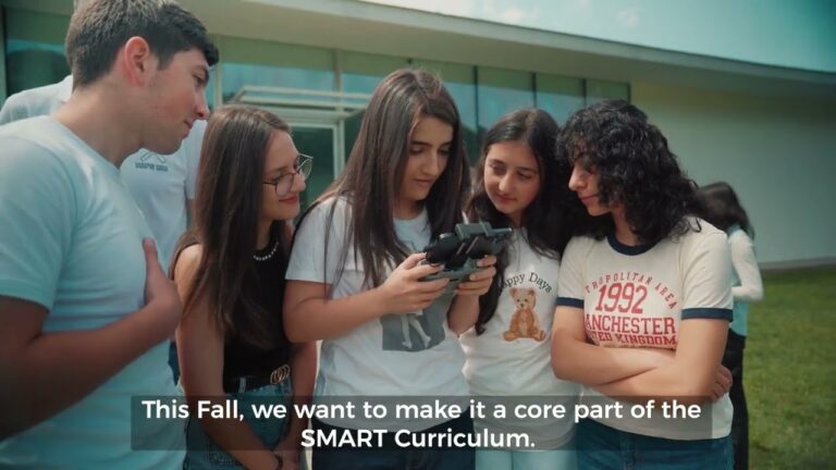
This fall, COAF is introducing a groundbreaking GIS technology course at the SMART Center in Lori—and we’re inviting you to help make it a lasting part of the curriculum.
📡 Geographic Information Systems (GIS) empower students to use drones, satellites, AI, and sensors to build living digital models of their worlds—an interactive map, filled with live data that helps you make smarter decisions.
🍎GIS Topics for Students:
– Precision Agriculture – Monitor crops and farm smarter
– Risk Management – Analyze disaster risk for earthquakes and floods
– Resource Planning – Optimize village access to critical resources
💛Thanks to your support, rural youth will learn to read the world like a map—and use the tools of tomorrow to redraw its future.


2 Comments
🙏
💛 Every contribution makes a difference. Donate today.